Find.Identify.Save.
A pocket companion for mushroom foragers, powered by on-device AI that helps you spot fruiting bodies in the leaf litter, suggests a species from a photo, and keeps a private map of your finds. It all runs on your phone, fully offline, deep in the woods, with no signal.
The app is only a foraging assistant. What ends up in the basket and on the plate is a human call: made with judgement, with experience, and when something looks off, with a mycologist. We do not replace knowledge. We help you build it.
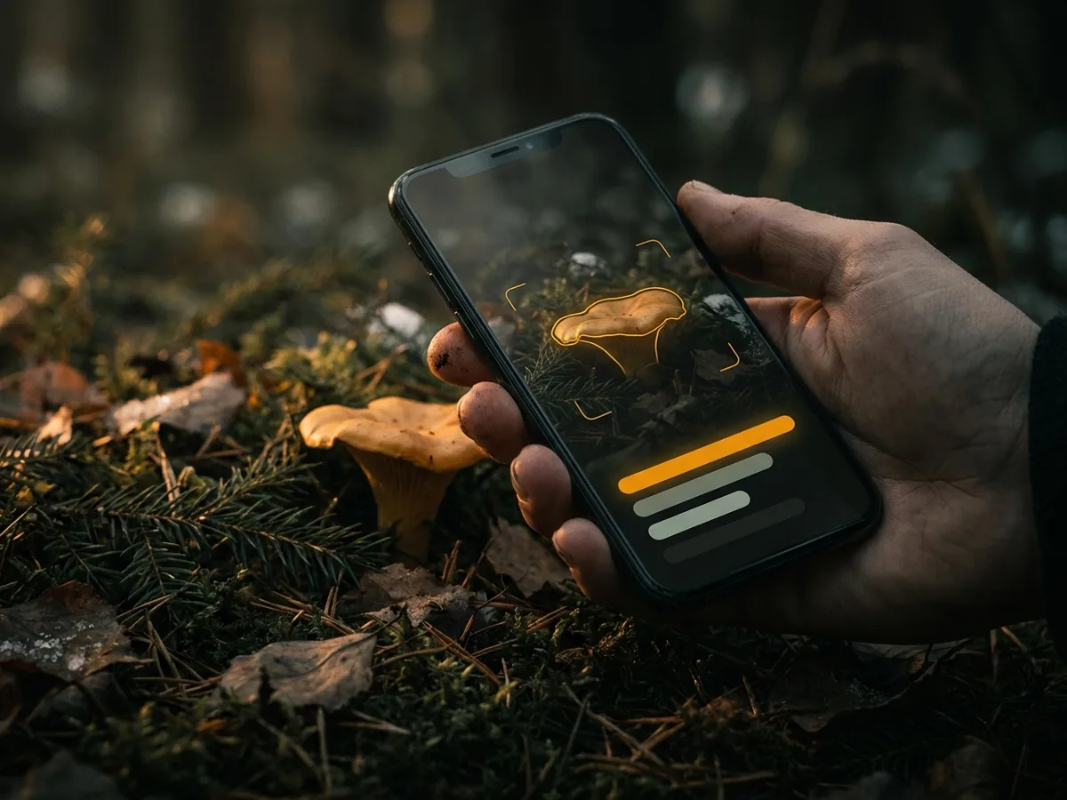
Underneath sits AI trained on Polish species. One model spots fruiting bodies in the frame, the other recognises the species from a photo. Both run locally, with no network, and they report confidence honestly: when they do not know, they say so.
A segmentation model sweeps the camera feed 15 to 30 times a second and outlines fruiting bodies, even the ones tucked into the leaves.
The classifier returns the most likely species with calibrated confidence. When the image is ambiguous it would rather say "I am not sure" than guess.
The models ship with the app. No photo travels to a server, and recognition works even where there is no signal.
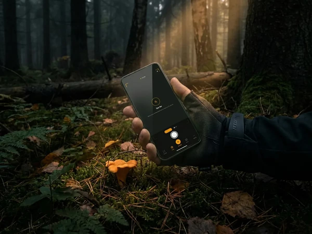
The camera guides you across the leaf litter while the app scans the frame 15–30 times a second, traces a contour around any fruiting body, and buzzes when it spots something worth a closer look. The YOLO model and the species classifier both run on the phone, with no network and no cloud.
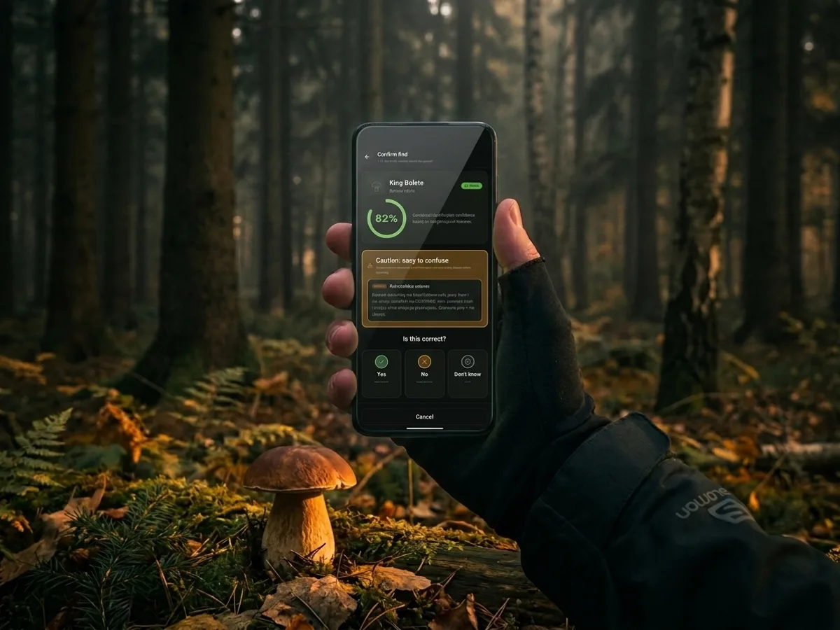
Take a sharp photo of a single specimen. You get back the most likely species with honestly calibrated confidence, a checklist of features to work through, and a list of toxic look-alikes. You always see why the app is sure, or why it is not.
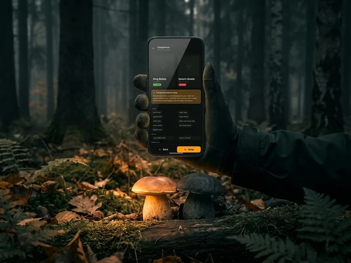
Boletus edulis next to Rubroboletus satanas. Parasol next to death cap. Wood mushroom next to yellow-stainer. Side-by-side comparisons of the most often confused pairs sit right beside the recognition result, so you decide deliberately and with the full picture.
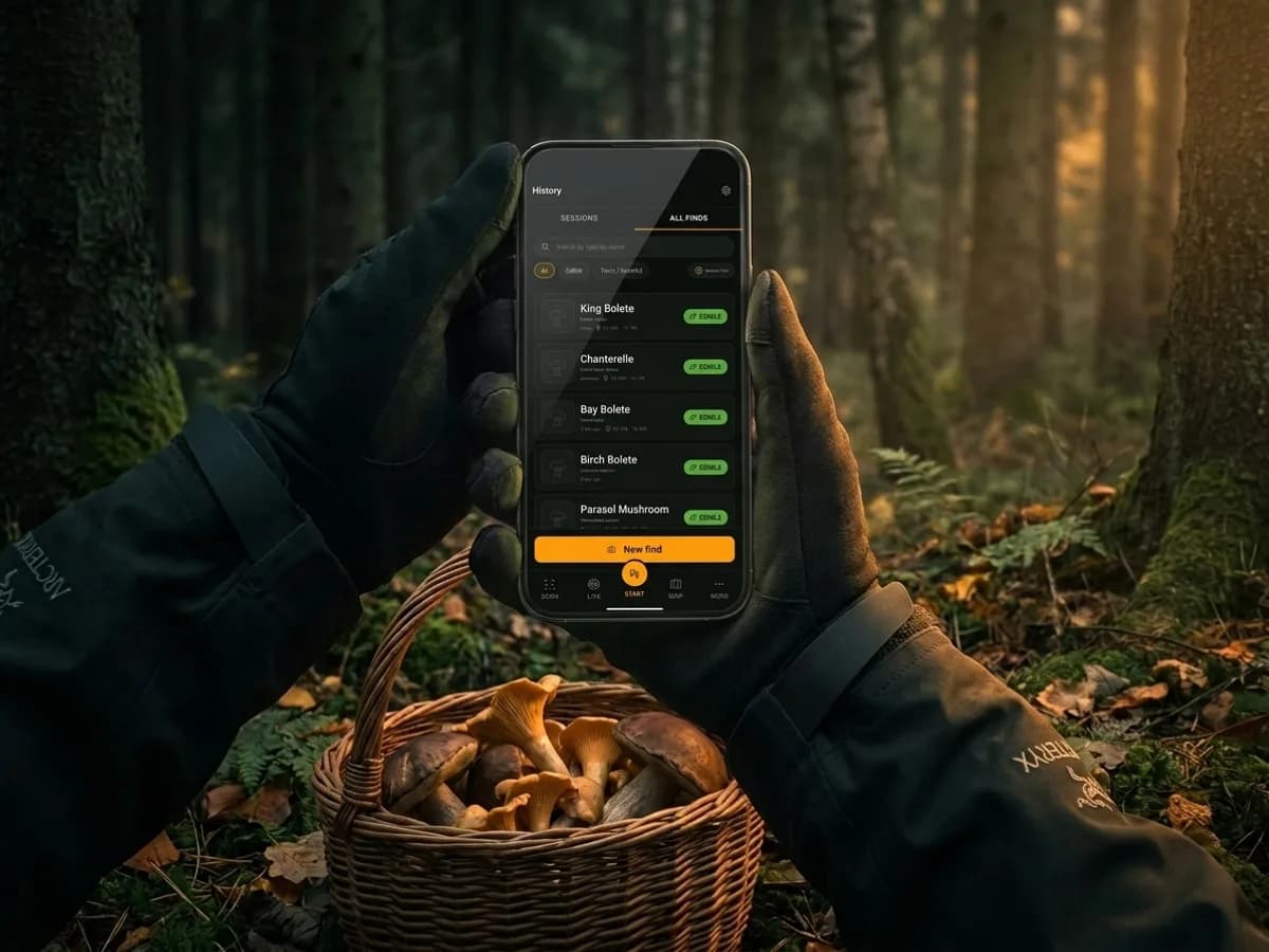
Every confirmed find lands on your private map. Poland, Czechia and Slovakia come as downloadable offline packages, so the vector basemaps load with no signal. GPX export, your copy, your trace. Nothing left behind on a server.
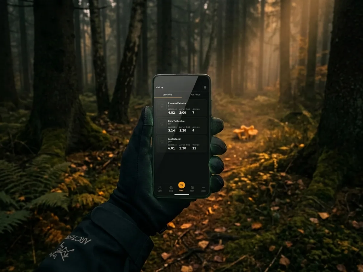
Start a session as you head in, let the GPS draw your trail in the background, and stop it back at the car. Distance, steps, elevation gain, pace, plus photos saved straight to your gallery. Strava for mushroom pickers, only quieter: no tracking pixels and no social drama.
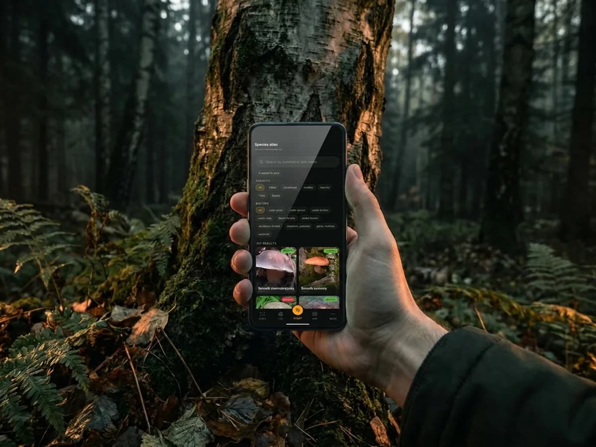
Over 100 Central European species with descriptions, seasons and habitat tags. The cards are written from mycological literature, including the Wojewoda atlas, rather than stitched together from Wikipedia. Season, habitat, diagnostic features, field photos and toxic pairs.
Start a trip and your phone draws your track on an offline map. You see where you have already walked, where you tagged each mushroom and how far you have come. All with no signal, because the basemap lives on the phone.
Download a region once and the map then loads straight from storage. Deep in a forest where nothing reaches you, you still know where you stand.
GPS draws a line behind every step. Distance, time and pace add up on their own, and you watch the route trace across the contours.
Every find lands on the map exactly where you picked it. A year later you walk back to the same spot instead of guessing from memory.
After the trip you get distance, elevation and the list of finds. Send the track as a GPX file or an image, to whoever you like.
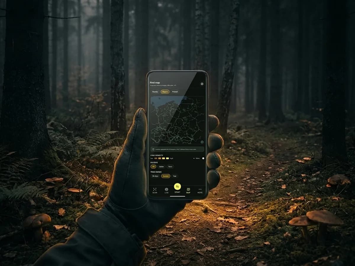
Vector maps of Poland, Czechia and Slovakia download once, each as its own package. From then on the basemap loads straight from your phone: deep in the woods, up in the Tatras, across the border, without a single bar of signal.
Zoom 0-14, OpenMapTiles schema, quarterly updates. You only download the countries you actually walk.
No cloud, no tracking, no signal needed in the woods.
Detection and classification on your phone. Photos never leave the device.
Your foraging history stays on your device. GPX export, your copy.
The app is in testing on Android and iPhone before it reaches the stores. Sign up and we will email you an invite as soon as your test track opens.
Invite-only access. The link arrives by email as soon as you confirm your signup.